Plan Your Trip - Navigating Calgary traffic and detours
Plan Your Trip - Navigating Calgary traffic and detours
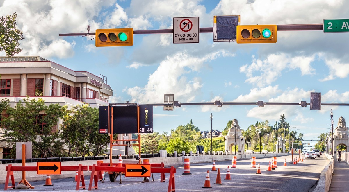
Calgary is a busy and complex city. New roadways, detours, construction projects, traffic congestion and challenging weather can all affect regular drive times. A well-informed traveler and well-managed traffic can work together for a smoother commute and safer drive, every day.
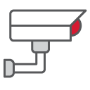
In 2021, The City of Calgary partnered with Waze to help Calgarian navigate the roads and roadways in every quadrant of our city. Plan your way, choose your co-pilot, save time knowing the detours and stay safe by leaving yourself that extra time to get around.
Why Waze?
- Waze delivers real-time updates on traffic conditions, accidents, road closures, and police traps, ensuring you always find the fastest route and avoid delays.
- The City’s exclusive partnership with Waze means that closures and detours are automatically updated in the app, providing you with the most accurate and up-to-date navigation app for Calgarians.
- Be part of a vibrant community of drivers who share valuable insights and help each other navigate the city with ease.
- You can personalize your Waze experience by choosing fun avatars and even reflect your mood!
Download the Waze app
We encourage every driver to download the app and use the hands-free feature to report traffic incidents when you see them.
To download the free Waze app for iOS or Android, visit https://www.waze.com/apps or through the App Store or Google Play.

Share feedback about a detour or lane closure by reporting it to 311 with a “Road Detour Inquiry” Service Request.
For latest traffic updates and scheduled detours
-
Before your leave go to the traffic map for road construction, road closures, detours and incidents that may affect your commute. Traffic disruptions can be sorted by city quadrant.
-
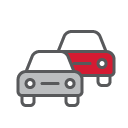
View real-time traffic camera images of current road conditions on major routes and key intersections. Cameras are listed by location or check out our way on the map.
-
Special events such as annual parades, marathon runs and celebrations require traffic control and detours to be in place. Check out our hosted events and how they can impact traffic throughout the year.
-
See your drive time! Travel times are estimated based on real-time congestion. Drive times are also displayed on electronic signage at locations along priority roadways and intersections.
-
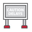
Our roadway signage provides drivers with current information about traffic delays, congestion and detours when there are major delays or closures.

Other ways to get around
By choosing other ways to get around, like taking the bus or train, biking or e-scooters, you can help reduce congestion and keeps our roads flowing smoothly.
Take Transit: Get the latest schedules or download the app to plan your journey. [Link to transit]
Wheel instead: Calgary has the most extensive urban network of pathways & bike lanes.
Hop on an e-Scooter: Enjoy a quick ride with an e-Scooter or e-Bilke.
Traffic Talk Video Series
Check out Traffic Talk, a video series showcasing the behind the scenes work The City’s Traffic management Centre does to keep traffic flowing.