Pathway and Bikeway Plan

Calgary’s Pathway and Bikeway Network (5A) Program
We are continuing to build a pathway and bikeway network for people walking, wheeling, and cycling to provide year-round healthy and affordable travel options to Calgarians of all ages and abilities, including our 5As of design - always available for all ages & abilities.
What are we building?
We have several projects that are under construction or planned for construction in the near future. Please check here for current projects, plus you can check on any pathway closures or detours

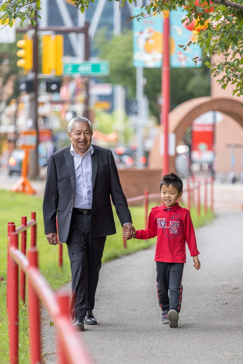
Making Communities Safer
Our data shows that pathways in parks and along streets make communities safer. Some of the safety measures that make this true are better crossings, lower vehicle speeds, and making walking and biking more predictable to drivers.
Check out what we are building on project page.
What are we planning?
We have several projects in the planning stage. We are working with communities, groups and organizations who will be impacted by new or updated pathway and bikeway projects, to develop and confirm new designs and upgrades.
Check out our map of our 10 Year Implementation Plan. This plan will close gaps in Calgary’s Pathway Network so that everyone has access to safe and affordable travel options, year-round.

Useful Links – Calgary's Pathway and Bikeway Network
- Pathways and trails
- Pathways, Bikeways and Walkways Digital Map
- Pathways and Bikeways – Walk and Roll Map
- Pathway closures and detours
- Wheeling lanes, cycle tracks and bike lanes
- Pathways snow clearning
- Pedestrians and Crosswalks
- Cycling education programs
- Cycling signs, road markings and traffic signals
Related links
- Main Streets
- Transit Oriented Development (TOD)
- Local Area Plans
- Established Area Growth & Change Strategy (EAGCS)
- Active and Safe Routes to Schools
- Neighbourhood Streets policy
- Calgary and Area Pathway and Bikeway Plan Engagement
- 5A Network Guiding Principles Report
- Calgary Transportation Plan
- 50 Avenue S.W. Corridor Study
- 50 Ave S.W. Improvements
Contact us
Questions about Calgary’s pathway and bikeway network?
What is 5A?
We design our pathway and bikeway network guided by five principles: Always Available for All Ages & Abilities. These principles are the result of consulting with Calgarians and outlined in our 5A Network Guiding Principles Report.
These 5As are applied to our planning and design by;
- Separating people by their speed
- Making it more easy to use
- Being accessible for everyone
- Making it reliable
- Improving visibility
